


The Rock Art Atlas
Deciphered Palaeolithic Signs: The first maps of humankind
martes 7 de julio de 2026.

«Verdades con chanclas», de Antonio Fagundo
Sinopsis
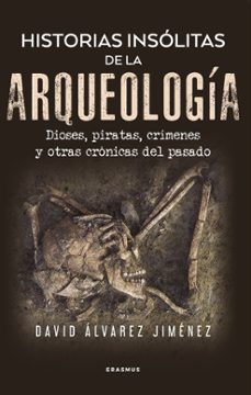
Paleolithic signs deciphered for the first time in history
What did the strange signs that appear alongside the bison and horses of Altamira mean? Why did our Paleolithic ancestors paint dots, lines, and quadrilaterals on cave walls? Vicente Moreno presents a groundbreaking discovery that reshapes our understanding of Paleolithic rock art. After years of research, he has succeeded in deciphering the enigmatic signs that accompany the animal paintings in our caves.
The first cartographic representations of our world
His central thesis is bold: these signs are the earliest cartographic representations of our world, maps and plans created more than 15,000 years ago by prehistoric artists who mastered surprisingly sophisticated techniques of spatial representation. The book examines ten Paleolithic “maps” from the Strait of Gibraltar to Cantabria, demonstrating with mathematical precision the correlations between rock art signs and the real geography of each region. It reveals the remarkable capacity for abstraction and spatial organization of our ancestors. The Rock Art Atlas includes mathematical verification, topographical analysis, and an innovative methodology that opens new avenues of research in prehistoric archaeology. A major contribution to our understanding of the origins of cartography and human symbolic thought.
Ficha Técnica
Editorial: Almuzara
ISBN: 9791370204037
Idioma: Inglés
Número de páginas: 224
Encuadernación: Tapa blanda
Fecha de lanzamiento: 07/07/2026
Año de edición: 2026
Especificaciones del producto